Tyrean Purple dye, Philip Henry Gosse, and the Bell Rock lighthouse

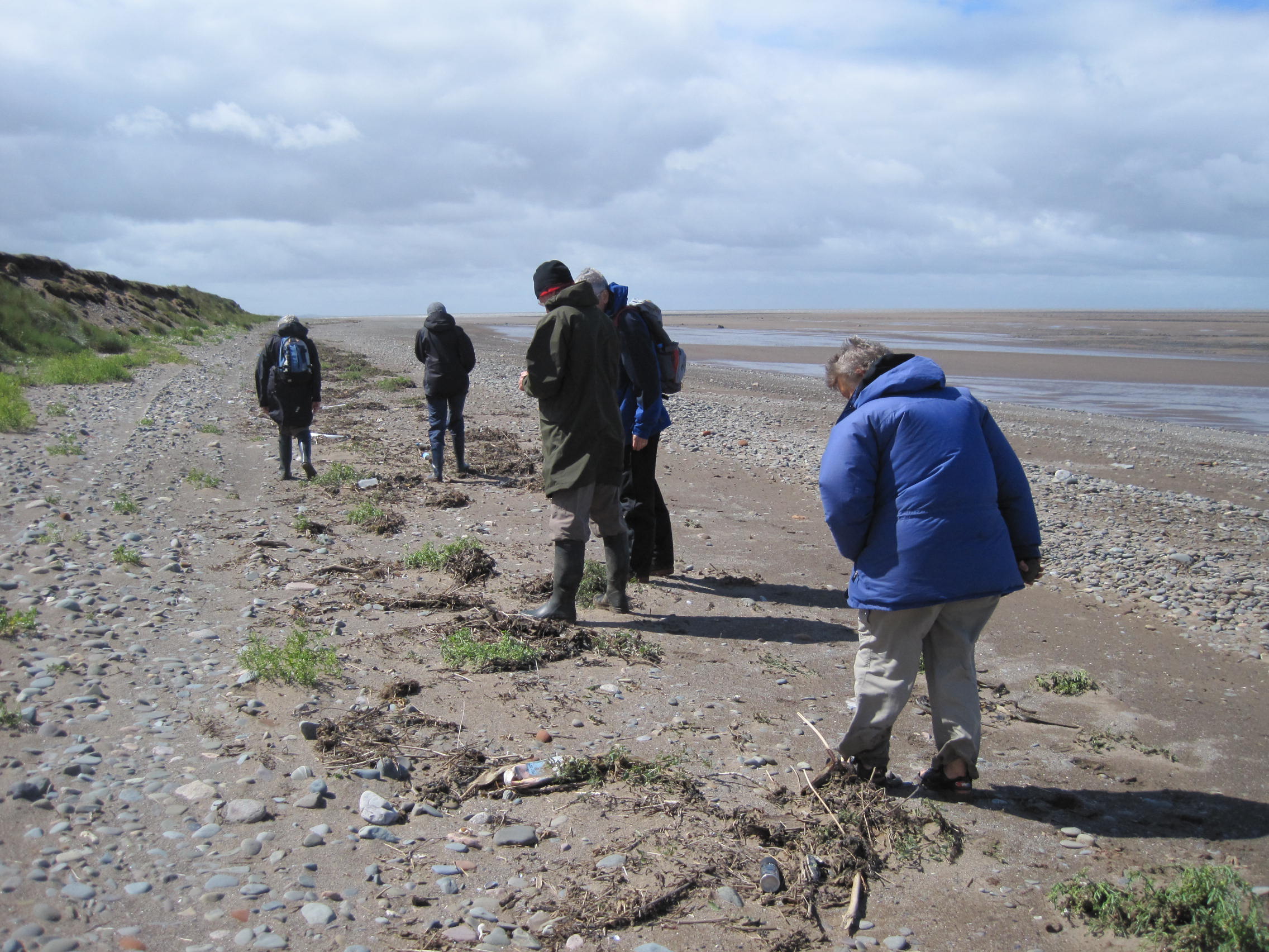
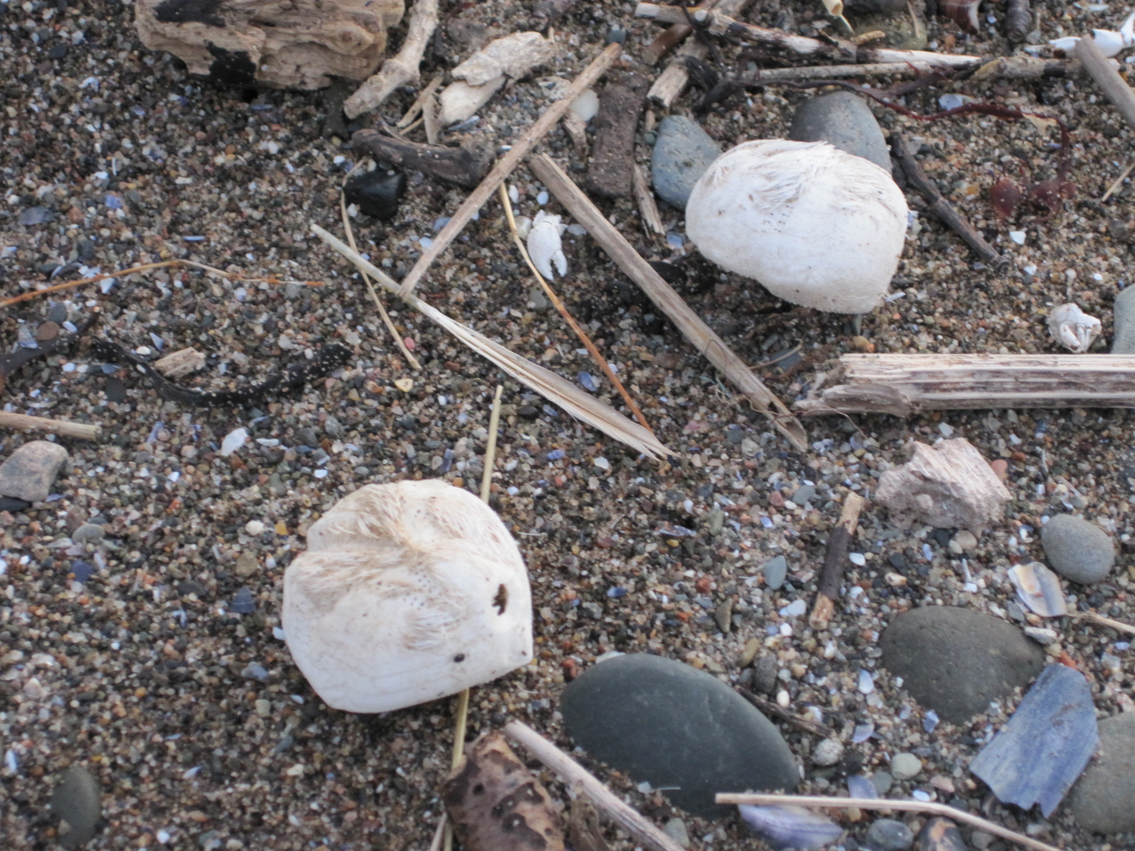
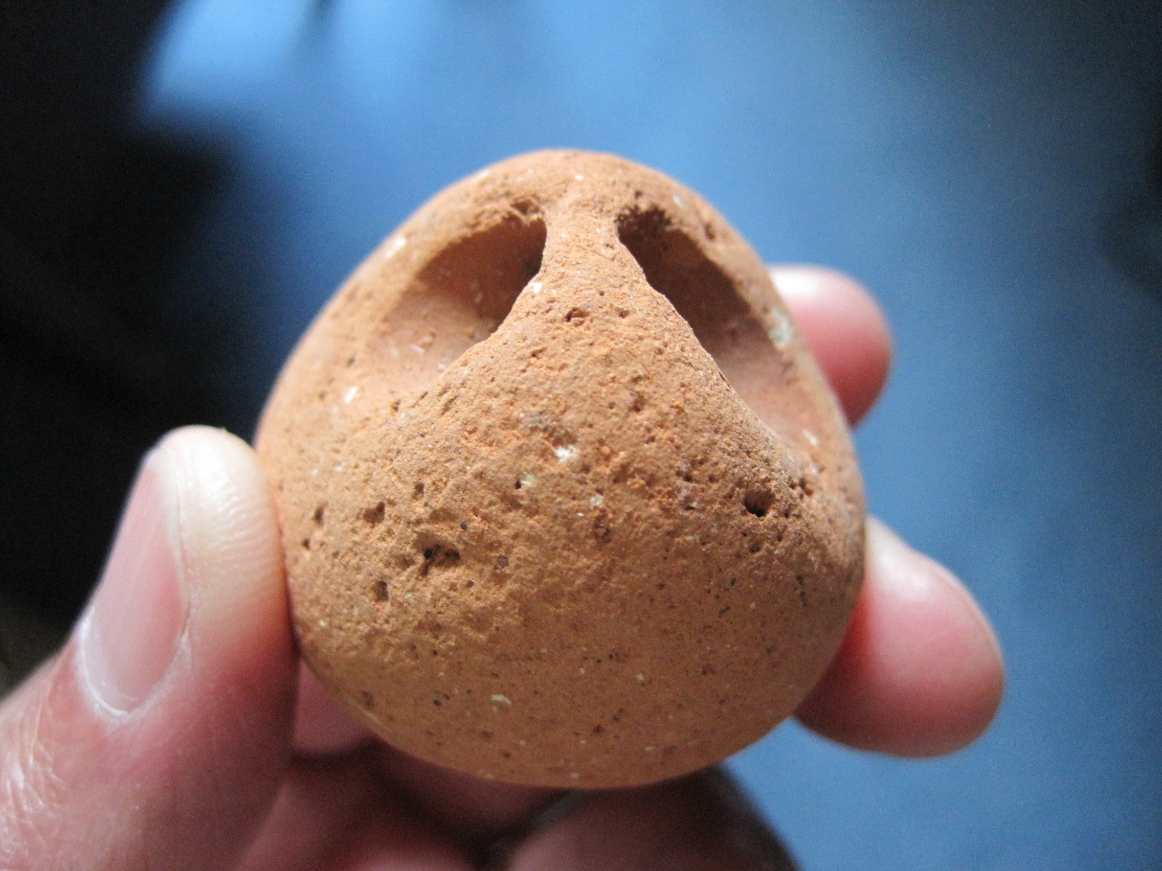
Puzzling about the link to Solway Shore-walker? It is the dog-whelk Nucella lapillus, the ‘boring mollusc’ of an earlier blog-post.
On page 182 of Natural History: The Mollusca, published in 1854, Philip Henry Gosse writes: ‘From Mr Stevenson’s interesting account of the erection of the Bell-Rock Lighthouse, we learn that the valves of the Mussel are no defence against the Dog-Winkle. “When the workmen,” says this gentleman, “first landed upon the Bell-Rock, limpets of a very large size were common, but were soon picked up for bait. As the limpets disappeared, we endeavoured to plant a colony of mussels from beds at the mouth of the river Eden … These mussels were likely to have been useful to the workmen, and might also have been especially so to the light-keepers, the future inhabitants of the rock, to whom that delicious fish would have afforded a fresh meal … but the mussels were soon observed to open and die in large numbers.”

Nucella on the left: from PH Gosse's 'A year at the shore'

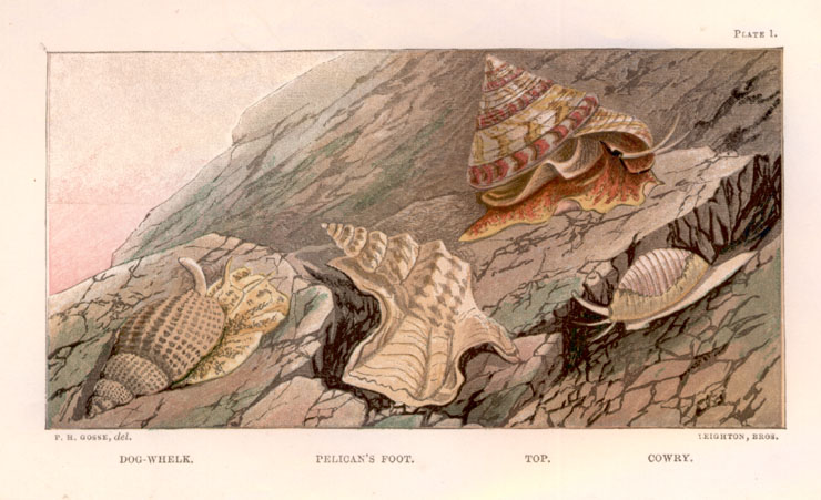
Nucella on the left: from PH Gosse’s ‘A year at the shore’

And soon, says Stevenson,”the Buccinum lapillus [Purpura] having greatly increased, it was ascertained that it had proved a successful enemy to the mussel. The Buccinum being furnished with a proboscis capable of boring, was observed to perforate a small hole in the shell … and to suck out the finer parts of the body of the mussel.”
Gosse refers to the boring apparatus as a ‘drilling wimble’, a type of auger.

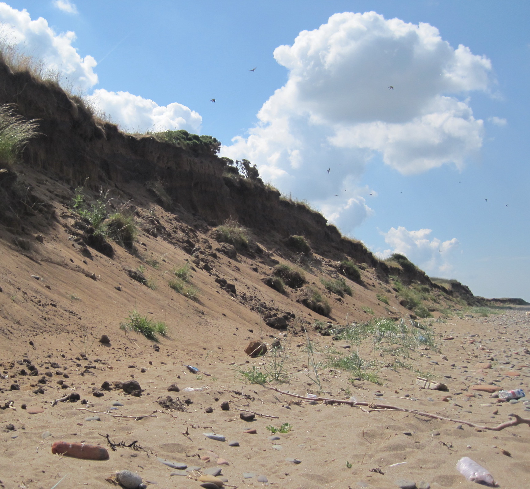
The river Eden that Stevenson mentions is not (unfortunately for Solway Shore-walker) the one which empties into the Solway, but the Scottish river which reaches the east coast near St Andrew’s, and is therefore rather closer to Bell Rock. Stevenson’s team finished building Bell Rock lighthouse in 1811.

The lighthouse was automated, or de-manned, in 1988. Eddie Dishon, a lighthouse-keeper’s son, was involved in the decommissioning – you can read his story, and see photographic evidence of an unusual Easter-time event at the lighthouse, in my collection of stories about the lives of some members of the Lothian Birth Cohorts,  LBC Lifetimes, online; Eddie was too high up to see any Nucella.

A natural dye

‘The Tyrian purple, the most celebrated manufacture of that famous crowning city whose merchants were princes, was the juice of a shell-fish.’ There, it was derived mainly from a species of Murex, a gastropod Mollusc.
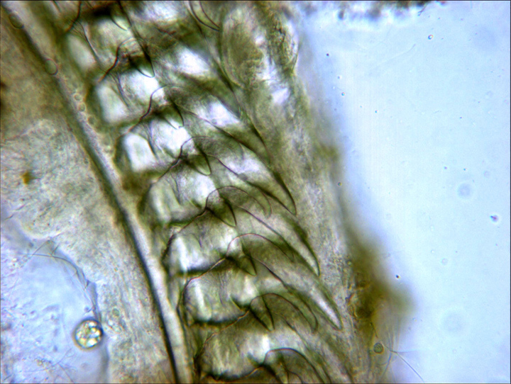
But Gosse thought that Purpura lapillus [Nucella] might provide the dye too. ‘I have myself been entertained with making experiments on the purple dye of this shell-fish, which, perhaps, some of my readers might like to imitate. …. break the shells with a blow of the hammer, taking care not to crush the animals: throw them into a basin of fresh water, in which they will die in a few minutes. Examining them now, you will find just behind the head, under the over-lapping edge of the mantle, a thick vein of yellowish white hue, filled with a substance resembling cream: this is the dye in question.’
Then, ‘with a camel’s-hair pencil you may paint upon linen or cotton cloth any lines, the initials of your name, for example.’
Sunshine is now required. ‘Place your linen in the light of the sun … and watch its changes. The marks [pass] from yellow to pea-green, and are now of a full grass-green … the yellow element disappearing and the blue element becoming more and more prominent … the colour at length appears a full indigo.’ And eventually, ‘the hue is a dull, reddish-purple.’

Gosse was a great shore-walker, collector, and the first to run shore-classes; there is much more about his life, seen through the eyes of Anne Church (who sent Gosse specimens of sea-anemones, and whom I have fictionalised) in my novel Seaside Pleasures.

Posted in shells | Tagged , , , , | Comments Off on Tyrean Purple dye, Philip Henry Gosse, and the Bell Rock lighthouse

Dune walk (with one diversion)

Fore-dunes with the 'Tommy-Legs' light in the distance

Fore-dunes with the ‘Tommy-Legs’ light in the distance

My guided shore-walks are ‘vertical’, from the bottom to the top of the shore – we usually spend a lot of time looking at the animals near the low water mark, with diversions on the way back to see the submerged forest (if the sand hasn’t hidden it) and to beach-comb along the high-tide line.

But on the first day of July, in calm air and bright sunshine, I walked ‘horizontally’ along the top of the shore, from Wolsty Bank to Bank Mill Nursery just South of Beckfoot, keeping to the edge of the dunes (apart from one interesting diversion).

Lyme grass, sea-spurge and marram grass

Lyme grass, sea-spurge and marram grass

Stepping down from the well-vegetated dunes at Wolsty, I wandered along the intermediate zone, neither shore nor dune, which is being colonised by sand- and salt-tolerant plants: lyme and marram grass; sea-spurge; white bladder-campion; vetches, blue and yellow; bird’s-foot trefoil (there is very good illustrated explanation of dunes and their vegetation here).

Pyramidal Orchid

Pyramidal Orchid


A single purple-red pyramidal orchid was tall amongst the grasses, and there was a concentration of empty shells of the banded snail, Cepaea, beneath a silvery-blue sea-holly, the shells a range of colours, yellows, pinks and pale-browns.


But it was the number and variety of butterflies and moths that astonished me; they fluttered and selected and settled, and fluttered again. I’m not good at identifying butterflies but there were Common Blues, Meadow Browns, Ringlets, even a Red Admiral later on. And a Burnet Moth, in striking red and black, gripped a stalk next to its empty pupal case, unmoving as though startled at its own transformation.

Common Blue butterfly

Common Blue butterfly

Reed Buntings followed me for a short distance, flying from stem to stem of the tall Lyme Grass, gripping the stalks sideways as they watched me. Larks rose up twittering, no longer ascending high to sing, from the mature dunes, and sparrows pottered amongst the vegetation on the sand.

The tide was way out, and the sand stretched smoothly towards Scotland. A man and a woman passed me, carrying chairs: they unfolded the chairs and sat on the empty sands, side by side but facing in opposite directions, perhaps the better to talk to each other. Jack Vettriano would have painted them.

The dune faces had taken a battering during the storms and tidal surge at the turn of the year, and new defences consist of huge blocks of limestone. Someone was sun-bathing by the stones, naked or in skin-coloured underclothes, so I dipped down onto the shore to check out the tidelines: no treasures this time, not even heart-urchins.

Sand-martins and their nest-holes

Sand-martins and their nest-holes

But around the sea-cut face of the dunes further along there was a cloud of sand-martins. This is the first time I have seen martins there (apparently their nests were washed out when the dune-face collapsed in the 2009 storm). I sat on the sand and they swooped and chattered around me, occasionally diving in their nest-holes. It was a privilege to see them and to be so close to their small village.

My diversion from the upper shore was to talk to a man who was digging for lugworms. He was working in a particularly good patch, that was dotted with thick worm-casts, and he was digging a trench with a fork, lifting out divot after divot of compacted sand, and pulling the long fat worms out of their burrows.

Digging for lugworms (Arenicola)

Digging for lugworms (Arenicola)

We stood in the sunshine and chatted about worms, and fishing – unusually, fishermen on Silloth pier have been catching skate this summer – and ‘our Geordie friends’ who come over from the North-East and strip the lower shore of bucket after bucker of ‘peeler’ crabs’, which they sell for bait. I had seen the extent of their morning’s ‘catch’ myself, and was horrified; the crab population is no longer sustaining itself and local fishermen struggle to find even a dozen for bait.

A bucket of lugworms

A bucket of lugworms

The worm-digger was going to use his worms to fish from the shore for bass.

Heading back and up onto the top of the dunes, I found cinnabar caterpillars on the ragweed, and more Common Blue butterflies, the same bright blue as the harebells around them. A kestrel, ‘wind-hover’, held station high above its hunting-ground.

Cinnabar caterpillars on ragweed

Cinnabar caterpillars on ragweed


Posted in dunes, sand, tidelines | Tagged , , , , , , , | Comments Off on Dune walk (with one diversion)

Boring molluscs and bevelled edges

Nucella at mating time (with egg capsules below)

Nucella at mating time
(with egg capsules below)

Dog-whelks, Nucella lapillus, were clustered on the mid-shore rocks in late April; singles, twos and threes, they were apparently uninterested in the barnacles beneath their feet, but were there to socialise or, more specifically, to meet partners of the opposite sex and to mate.
Usually on our shore-walks we see only yellowish or white dog-whelks, with the occasional brown-and-white banded variant, so the range of colours in these copulating clusters was surprising.
And the results of their successful matings were obvious: mats of yellow, vase-shaped capsules glued to overhangs and crevices.
A female Nucella might deposit as many as 100 capsules, each of which could contain up to 600 eggs. The embryos which hatch continue to develop inside the capsule – rather than as a free-swimming phase in the plankton – and eventually break out several weeks later as miniature adults. So why isn’t there an undulating swarm of these tiny ‘crawl-aways’? Almost 95% of the eggs are unfertilised and instead act as ‘nurse eggs’ – a kinder way of saying ‘a food source’ – for the developing embryos. Nucella learns its predatory habits at an early age.

It has a big foot but it doesn’t rely on speed to catch its prey; indeed, research suggests that adults rarely move more than about 30 metres during their life (see the very informative page on MarLIN, the Marine Life Information Network, for more details). There’s no need to rush, because their preferred prey species, barnacles and mussels, are sedentary and usually numerous; neither can escape. Barnacles glue themselves to hard surfaces and secrete calcareous plates around their bodies, and mussels, with their two hard calcareous shells (valves) that can be closed tightly for protection, are firmly attached to surfaces by strong byssal threads.

Nucella radula, x400 From Robert Zotolli's excllent blog about the Barnacle Zone, http://razottoli.wordpress.com/barnacle-zone/

Nucella radula, x400
From Robert Zotolli’s excellent blog about the Barnacle Zone, http://razottoli.wordpress.com/barnacle-zone/

But Nucella has the tools and persistence to break through these armoured defences. In common with many other snail species, it has a long proboscis, which bears the mouth and a ‘file’ of hard sharp teeth, the radula; a secretion of narcotising chemicals completes the assault.
It either uses the ‘gape attack’ method, pressing its proboscis between the mussel’s valves or the barnacle’s plates, then narcotising the prey and rasping at its flesh with the radula, or it bores – it settles down and drills a hole in the shell. Boring is a mixture of mechanical drilling by the radular teeth, and – since calcium carbonate is dissolved by acid – a chemical attack by acidic secretions from an organ in the sole of the foot.

Then, as soon as the armour is breached, the dog whelk secretes digestive enzymes into the body of the prey, and sucks up the resulting ‘soup’. It’s a slow business.
Quoting from the MarLIN page: “Rovero et al. (1999) reported that the ‘gape’ attack method resulted in prey handling time (including inspection, narcotization and ingestion) of 49-51 hrs depending on experience, compared with a handling time of ~ 100 hrs by boring. Morgan (1972) reported that boring could take 3 days to complete.”
The drilled hole is perfectly circular, surrounded by a bevelled edge. And so, when we’re shore-walking in the Mawbray area where mussels are normally abundant, we examine empty mussel shells for signs of that deadly beauty.

Drilled shells

Drilled shells (the borings in the two in the bottom right corner have not yet pierced the shell). In shells drilled by Natica, the bevels are much more pronounced.

Only very occasionally, here on the English side of the Firth, do we find the drilled shells of other bivalves, such as tellins and Venus. They are much more common on the Scottish side especially at Luce Bay, way out to the West, where Nic Coombey has found shells of the other ‘killer driller’, as he calls it – the necklace shell, Natica. Nic has a fine photo of a Natica amongst drilled bivalve shells on page 10 of his attractive Strandline guide.

Barricane Bay; an engraving by Gosse from his book 'A naturalist's rambles on the Devonshire coast'.

Barricane Bay; an engraving by Gosse from his book ‘A naturalist’s rambles on the Devonshire coast’.

My own specimen of Natica  doesn’t count as a ‘Solway’ shell – I found it at Barricane Bay in North Devon, on a shell beach that the Victorian naturalist Philip Henry Gosse made famous in ‘A naturalist’s rambles on the Devonshire coast‘. There he was greeted by the female shell-collectors, who offered him ‘the beaded Nerite (Natica monilifera), a large and beautiful shell, to which the local women had given the euphonious appelation of “guggy”.’ He doesn’t mention whether he found drilled bivalves too.


Posted in shells, tidelines | Tagged , , , , , , | Comments Off on Boring molluscs and bevelled edges

Sculpting sand

Sand is naturally sculpted by wind and water: lifted and swirled to create ever-changing dunes, or washed to and fro and compacted in a shifting pattern of ripples. If the topography and environment change over geological time-scales, the sculpting, the patterning, might be fixed and lithified; later, much later, it might be re-sculpted by human sculptors and stone-masons.

The impulse to re-model fresh sand, wet sand, is simpler and hard to resist, and along the Solway coast the tide drops to reveal a firm and inviting sea-washed strand.

banner cropPeople, tall or short, standing, squatting, working or chatting, are busy in a corner of the beach at St Bees’, which has been marked off in rectangles by tape. Wrapped in warm layers against the fierce May wind and intermittent rain, and dwarfed by the tall red sandstone cliffs behind them, they are digging and piling and patting the sand. The theme of Cumbria Wildlife Trust’s Beached Art competition is ‘The Irish Sea’.

St Bees', May 10th 2014

St Bees’, May 10th 2014

Midway through the session, castles and harbours, a whale, seals, sea-horses, a loggerhead turtle, and massive lobster-claws are taking shape. “I just love this competition,” a man enthuses as he smooths and pats the curved flank of a seal. Most of the sculptures are in high relief with curving contours, none reaches for the sky with sharply-delineated angles; there are no wrecks, no kelp forests. The sand is damp enough to allow such structural fancies, but the time is short, only 90 minute – possibly a relief given the unforgiving weather that is battering CWT’s tiny marquees.

Dampness – specifically the amount of water and its arrangement between the sand-grains – is the crucial factor in sculpting sand.

'Thixotropy' - or liquefaction, set in stone

‘Thixotropy’ – or liquefaction, then set in stone

You can see for yourself how firm sand ‘liquefies’ and then sets hard in a new shape by paddling your feet up and down on the shore. An explanation for this thixotropic effect – or “making cows’ bellies”, as someone who used to spend a lot of time in Morecambe Bay more picturesquely calls it – can be found here.

And a recent post, ‘Water on the desert sands‘, by Michael Welland at his ‘Through the sandglass blog’ refers to a technique used in heavy-haulage work done by the Egyptians …

This can also be done with your hands, in a technique called ‘hand-stacking’, to build up ‘pancakes’ of sand and create a tall  sculpture: there are photos of some airy vertical structures in the ‘How to make sand sculptures‘ video gallery on the ‘Sand in Your Eye‘ website.

The type of sand (for example, beach or estuarine) is also important, depending on whether the sculpture is to be ephemeral or long-lasting; whether the site is inter-tidal or not could also be important!

Or, rather than building upwards, you could try making pictures, as in this very moving tribute, ‘The Fallen‘ , created by hundreds of people on the beach at Arromanches on Peace Day, 21st September 2013

Posted in sand | Tagged , , , , | 1 Comment

What’s an AONB?

“Most people don’t know what an AONB is – but it’s exactly what it says, it’s an Area of Outstanding Natural Beauty.” The important word is ‘beauty’, of the outstanding and natural type.

Graeme Proud is the Ranger/Volunteer Co-ordinator for the Solway Coast AONB, whose offices and Discovery Centre (where there’s a fascinating exhibition about the Solway coast and the Firth’s geological origins) are based at Silloth.

The AONB is currently celebrating its 50th year since its designation. Its 115 square-kilometre ‘patch’ extends between Maryport and Rockcliffe on the English side of the Upper Solway, and covers features as diverse as the dunes, mudflats, wetland carr, saltmarsh and raised mire, natterjack toad ponds, Crosscanonby Saltpans and the Roman Milefortlet 21.

The AONB has four permanent staff, and obviously they need some outside help to enable them to look after their part of the Solway coast. Much of that help comes from volunteers, whose tasks can range from clearing scrub, replacing signs and stiles and mending boardwalks, to laying hedges, and digging and lining wet scrapes for the protected Natterjack Toads.

'Big Beach Clean-up Day', April 2014

‘Big Beach Clean-up Day’, April 2014

Longshore drift brings débris onto the beaches from the Irish Sea and beyond, and rubbish washes down in the rivers – so litter-picking is also an important and ongoing job. At the recent ‘Big Beach Clean-up Day’, sponsored by M&S, nearly 60 black bags of rubbish were picked, ranging from a plastic laundry basket to tangles of fishing-net to bottles and cotton-buds. (Beware the half-full milk cartons!)

You might think that this sounds really dull or even difficult, but I know from my own experience that helping out can be fun, and the ‘work-parties’ are very sociable. Graeme makes it so: a large man with a big smile, and an easy outgoing manner, he greets and talks to everyone and he’s good at picking up on each person’s skills; he’s straightforward and ready with banter; even more important, he knows when to produce a tin of biscuits or, on scrub-clearing days, “a bag o’ taties and a bit o’ Bacofoil in the bonfire, a tin or two o’ beans. We have some good summer barbeques too, a nice fire somewhere…”

graeme and FS at Natterjack pond

Graeme Proud (on the right) and the Fire-Service, filling the new Natterjack Toad pond

Volunteers are also invited to a Christmas get-together with a buffet supper at Silloth, and there are occasional suppers or outings.  “Volunteers come along to the projects they know they can help with – litter-picking, or scrub clearance, or helping with the boardwalks and hedges,” Graeme says. “If you’re a volunteer these days, you come to places at your own expense, you’re more dedicated.” Graeme’s “biggest buzz” is when volunteers become friends. “There are times when you ask above and beyond the call, and they don’t let you down. I really enjoy working with them.” The volunteers enjoy it too.

That’s what it comes down to: appreciating the Solway Coast’s outstanding natural beauty – and enjoying helping to keep it that way. So do come and help!

For more information about the Solway Coast AONB and Discovery Centre, activities, volunteering and events, see www.solwaycoastaonb.org.uk, telephone 016973 33055 or email graeme.proud@allerdale.gov.uk

Posted in conservation, tidelines | Tagged , , , , , | Leave a comment

Tidelines

intro tideline

At its highest point on the shore, the turning tide writes a description of the day.

Tidelines are historical records: of the lives of plants and animals, and of their deaths; of weather – storms and floods – local and far away. There are geographical records too, of movements round the globe of ships and currents; records of human technology old and new, and of the objects we use, lose or discard; even records on a geological timescale.

But tidelines are not just repositories of past events, they also offer a place where animals may live. Kick a tangle of the detritus aside, and sandhoppers flip in all directions, small kelp-flies startle upwards.

The Solway’s tidal range varies enormously throughout the year, and in Allonby Bay the biggest tides – often in September – leave their flotsam high up near the dunes. During a big storm like that in January 2014, the ‘tideline’ is artificially high, as the waves are forced high up the beach by the wind and low barometric pressure, hurling débris into the air, onto the dunes, even across the road.

Debris after the January 2014 storm

The January storms left dense meshworks of inextricably tangled vegetation, dead sea-birds, plastic, wood and branches, even small boulders and shattered concrete, at the top of the strand.
But the tidelines formed in gentler weather are more easily dissected. On our shorewalks we regularly find the delicate skeletons of Echinocardium, the heart-urchin – an animal which lives burrowed in the sand at the bottom of the intertidal range.

Echincardium skeletons on the tideline
Echinocardium skeletons on the tideline

Dry balls of empty eggs of the whelk, Buccinum, bowl along in the wind like tumbleweed. One time, several years ago, there were drifts of tiny purple triangles of an unusual jellyfish, Velella. My most-treasured find is a sandal, from which a curtain of glistening white goose-barnacles, Lepas anatifera, dangled, each attached by a leathery black stalk: their larvae would have settled on the sandal off the coast of America, and their ‘boat’ must have drifted in the currents for more than a year before being wrecked on the Cumbrian coast.

Sandal with goose barnacles

Strandlines
The ‘weird and wonderful things’ that you can find on the tideline have been captured beautifully in photos by Nic Coombey, in the Strandlines project, which launched as an exhibition at the Mill on the Fleet, at Gatehouse of Fleet, on April 3rd.
The subjects of Nic’s photos glisten: mermaid’s purses, shining kelp, the ‘driller killer’ necklace shell Natica, and the pink tellin shells that it has drilled. There are long views, too, of the waves rolling kelp along the shore, and multicoloured rope amongst sea-kale on the shingle.

strandline cover

Strandlines was funded by the Robertson Trust, the Crown Estate and Leader+, and managed as part of the Making the Most of the Coast project by the excellent Solway Firth Partnership. Its end-product is a very attractive and family-friendly booklet, ‘Strandline, a beachcomber’s guide to the Solway Coast‘, which you can download using the link on that page.
Longshore drift up the Irish Sea brings a multitude of objects, dead, alive or man-made, into the Solway Firth. Of the northern shores, Nic commented at the launch that, “Our coast seems to collect most of the rubbish of the Irish Sea. … The more I’ve been down to the beach and found things, the more I’ve realised that everything tells a story about itself and about us.”

Many of the the stories that are told about us don’t have happy endings – plastic bottles and food cartons tell of greed and consumerism and laziness, and the gull hooked by a fishing-line tells of carelessness.
But Nic has found amusing stories too – “I’ve also been collecting ducks”, he said: yellow plastic ducks, marked ‘ World Record Duck Race Ireland 2006’.
And the latest objects in his collection? “Two hundred and twenty-five footballs in two months!”

Three levels of the tide
Posted in tidelines | Tagged , , , | Leave a comment

Loom-stones and fish-traps

“It’s a loom-stone. A warp-weight.”

We were standing by the cars, at the end of a couple of hours’ walking, talking and guddling in the pools near Allonby, and one of the walkers had been showing us some objects that he had found previously. The loom-stone, made of rough red clay, was almost spherical but perforated by a hole. Apparently a friend of his had “more than a hundred”, collected over the years from the shore near Beckfoot. Not all were moulded from clay, some were smooth grey stone like Skiddaw slate, but all had a single perforation through which the warp would have been threaded and knotted, so as to hang tautly over the edge of the loom. Another suggestion is that some were weights for fishing-nets.

Loomstones in Dumfries Museum

Loomstones in Dumfries Museum

Whatever their uses, they reportedly date from Roman times: there was a Roman cemetery at Beckfoot, and the army had encampments and milefortlets stretching down the coast from the western end of Hadrian’s Wall.


I realised then that I too had a red clay loom-stone. Several years ago I collected smooth perforated stones from the shore so that I could suspend them from driftwood twigs to make a ‘mobile’. Of course it was not very mobile, and my daughter suggested that the corner of the room beneath it should be designated a ‘hard-hat area’ . But one of the stones was made of red clay.

Red clay in Allonby Bay

Red clay in Allonby Bay

Recent storms have uncovered several patches of that same clay, perhaps derived from finely-ground red sandstone, with a texture that is markedly different from the smooth, grey, heart-stoppingly slippery clay that is occasionally exposed beneath the peat deposits on the shore.

My own loom-stone is not large – its diameter is about 35mm and it weighs about 40 gms. It rolls comfortably between my palms. I imagined Roman children scraping at the damp clay, squeezing its clammy roughness in their hands, patting it into balls, poking them with sticks to make a hole; their hands and faces smeared with terracotta streaks.

My loom-stone

My loom-stone

Mysterious lines

Line of stones at Mawbray

Line of stones at Mawbray

Lines of stones stretch out into the Firth from the Beckfoot and Mawbray sands. When I was looking at the mussel-beds a few years ago with Dr Jane Lancaster (who is now Senior Marine Ecologist with NaturalPower)  we puzzled about the lines: where the rows were roughly parallel, perhaps the stones had been cleared to make a safe place to haul up a boat; perhaps they were the remains of fish-traps. Jane sent photos to some archaeological colleagues, who suggested the lines might mark parish boundaries. Another possibility was that they were boundary-markers for collecting cockles or mussels.

But a couple of weeks ago she sent me some photographs of aerial surveys (* see September update with new photos below) which had, unusually, been taken when the tide was very low, and these showed a line stretching out into the Solway from Mawbray. There is an abrupt corner where the line, which had been pointing across the Firth to Criffel, swerves North, and there a triangular ‘enclosure’ is visible.

Diagram of lines at Mawbray

Diagram of lines at Mawbray

I went down to Mawbray today at low tide: it was a bright morning, but the wind was eye-wateringly cold. The shore has been re-modelled by the January storms so that comforting landmarks are no longer there; sand, that once hid much of the rocky, pebbly mid-shore, has been sluiced away and moulded into domes and hollows. Stones, each formerly a little ecosystem of adherent organisms and weed, are bright with the tatters of mussel-shells and broken barnacles.

The 'triangle' of stones

The ‘triangle’ of stones

But the pattern of stones seen in the aerial photo is easy to find, and today there was water pooled inside the ‘triangle’ and trapped by the elbow of the corner. Could this indeed have been a fish-trap, for plaice, perhaps, or codling?

It must have required considerable effort, and good knowledge of the tides, to drag stones into these patterns on the lower shore. Who made them; when, and why?

*update, September 3rd 2015

On my second gyroplane flight along the coast, at Extreme Low Water Spring tide on Sept 2nd, we deliberately flew over the lines of stones – straight lines, parts of rectangles, and the triangle. From their arrangement relative to the incoming tidal flow, and the patterns of the sand mega-ripples, it seems very likely that they were indeed fish-traps.

Lines of stones at Mawbray Banks (photo: copyright Ann Lingard)

Lines of stones at Mawbray Banks (photo: copyright Ann Lingard)

The triangle of stones (photo: (C) Andrew Lysser)

The triangle of stones (photo: (C) Andrew Lysser)

Lines and a triangle at Mawbray Banks (Photo (C) Andrew Lysser)

Lines and a triangle at Mawbray Banks (Photo (C) Andrew Lysser)

Posted in coastal heritage, fishing, stones, tidelines | Tagged , , , , , | 4 Comments