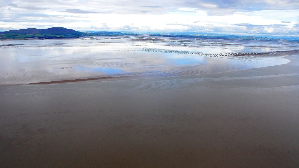
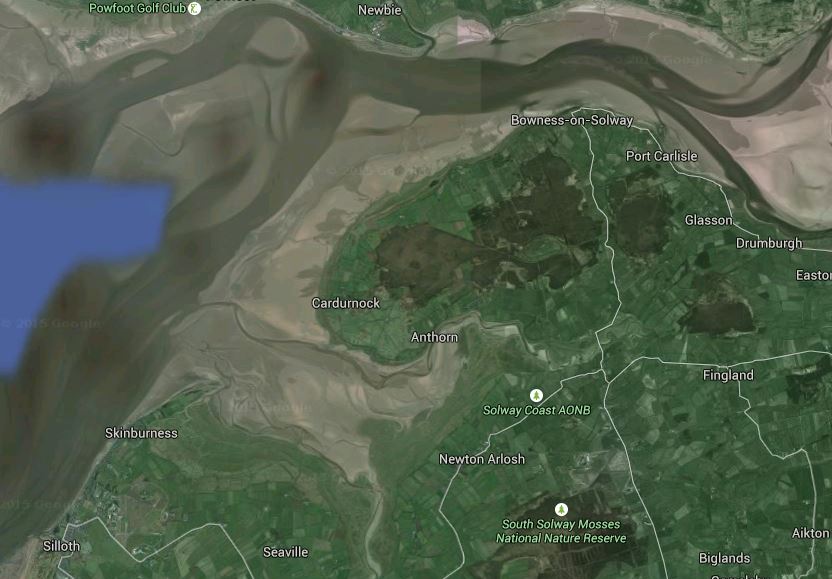
The Upper Solway at low tide (from Google Earth). The channels of the Eden and the Esk are top right. Moricambe Bay lies between Skinburness & Cardurnock.
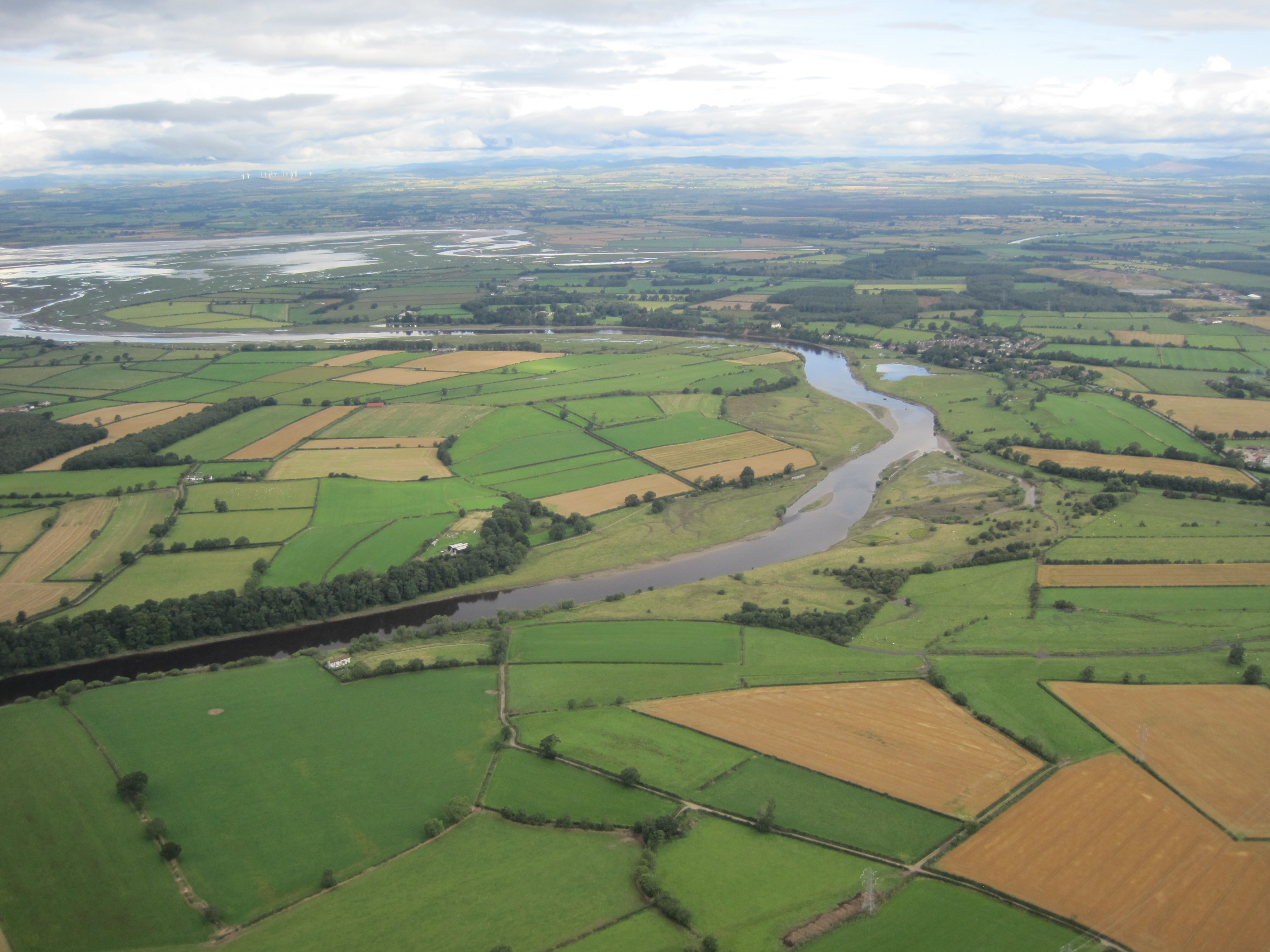
The turning tide takes time to fill the Solway. Today (August 12th) the first low tide at Maryport was at 0544h, height 1.5m; after turning, the flood tide was at its highest at Maryport at 1102h, height 7.5m. Heading North to Silloth, High Water was at 1114h, and 8.10m; then the flood had to sweep North-east, round Grune Point, some of it washing into Moricambe (‘Hudson’) Bay; and then carry on North-East again, along the main channel and over Cardurnock Flatts, past the stub of the long-gone viaduct, and round the corner to Bowness-on-Solway, tucking in against the English side then flooding East to the edge of Rockcliffe Marsh to meet the mouths of the Rivers Eden and Esk. At the mouth of the River Annan, on the Scottish side and just West of Bowness, high tide was at 1136h.
Sometimes the sea returns stealthily, its edges scummy with silt; sometimes it hurtles in as a roaring, though not very high, bore. Carrying its own burden of sand and mud, it meets the fresh waters from the rivers which, after rain has fallen on the hills, are murky brown with silt.
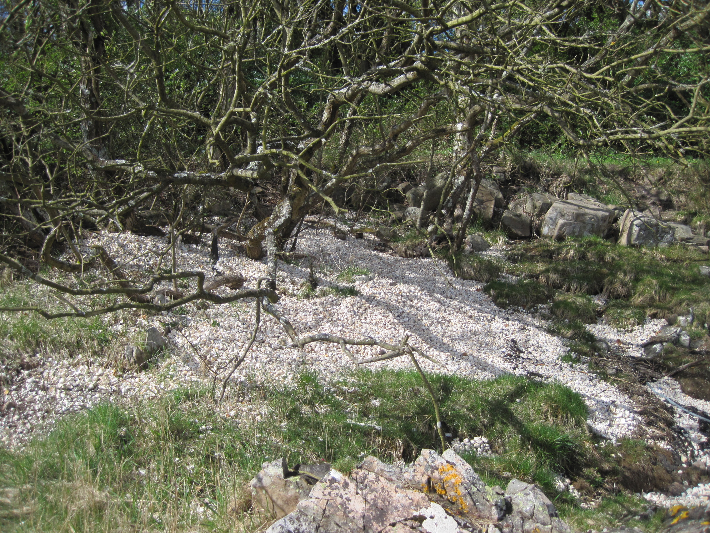
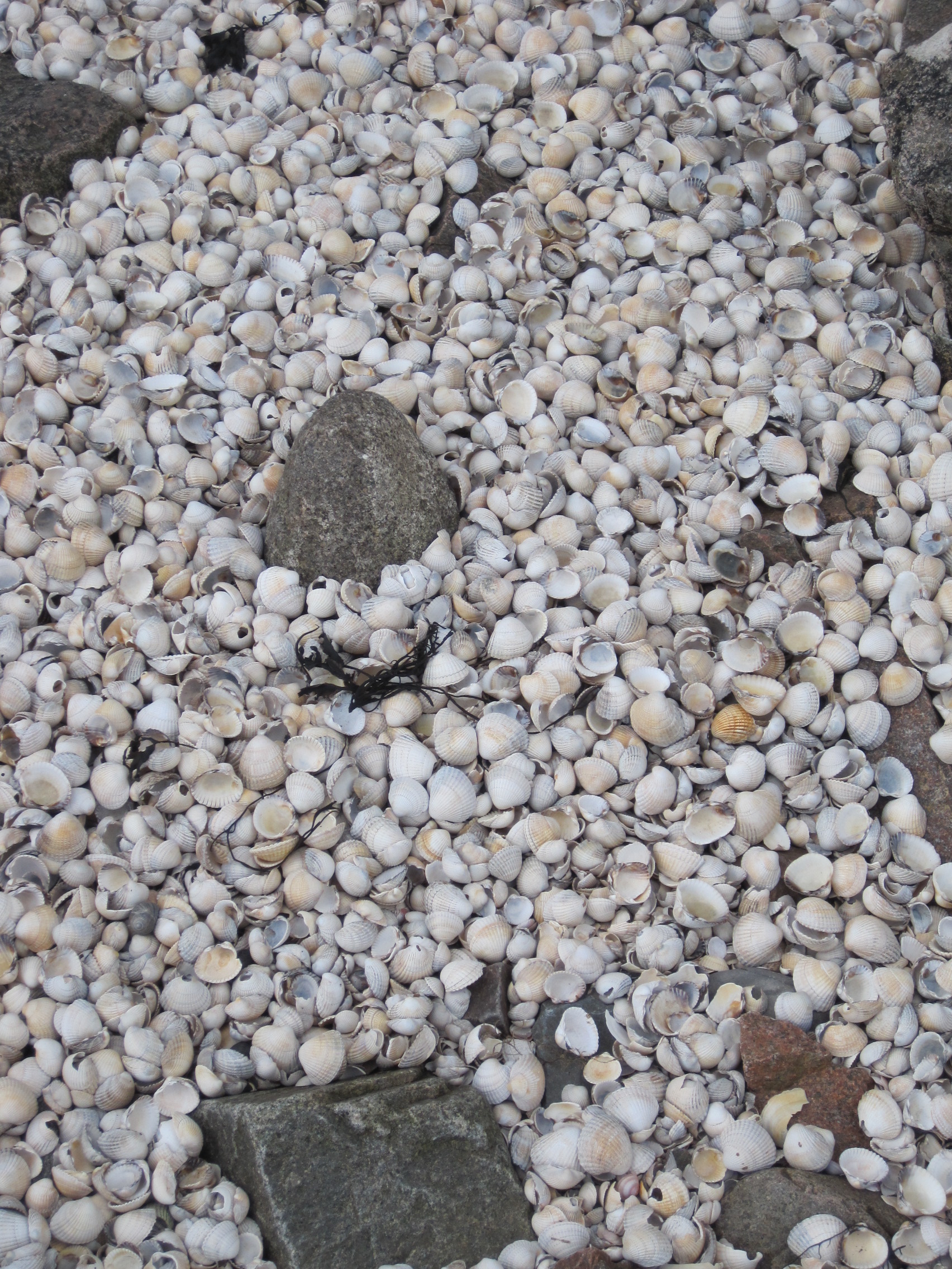
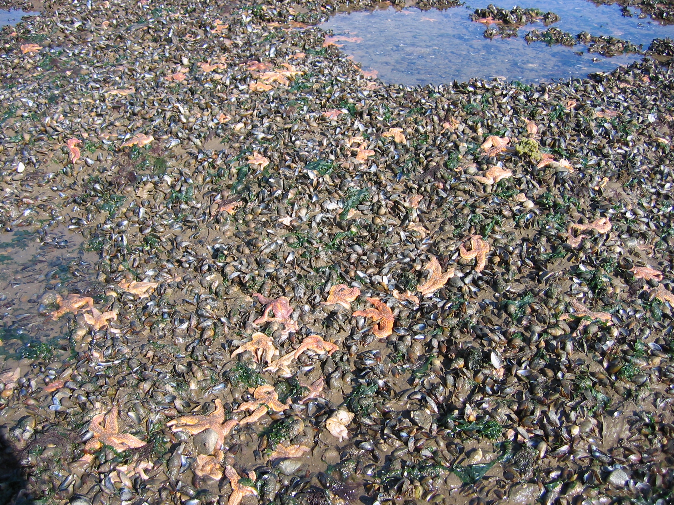
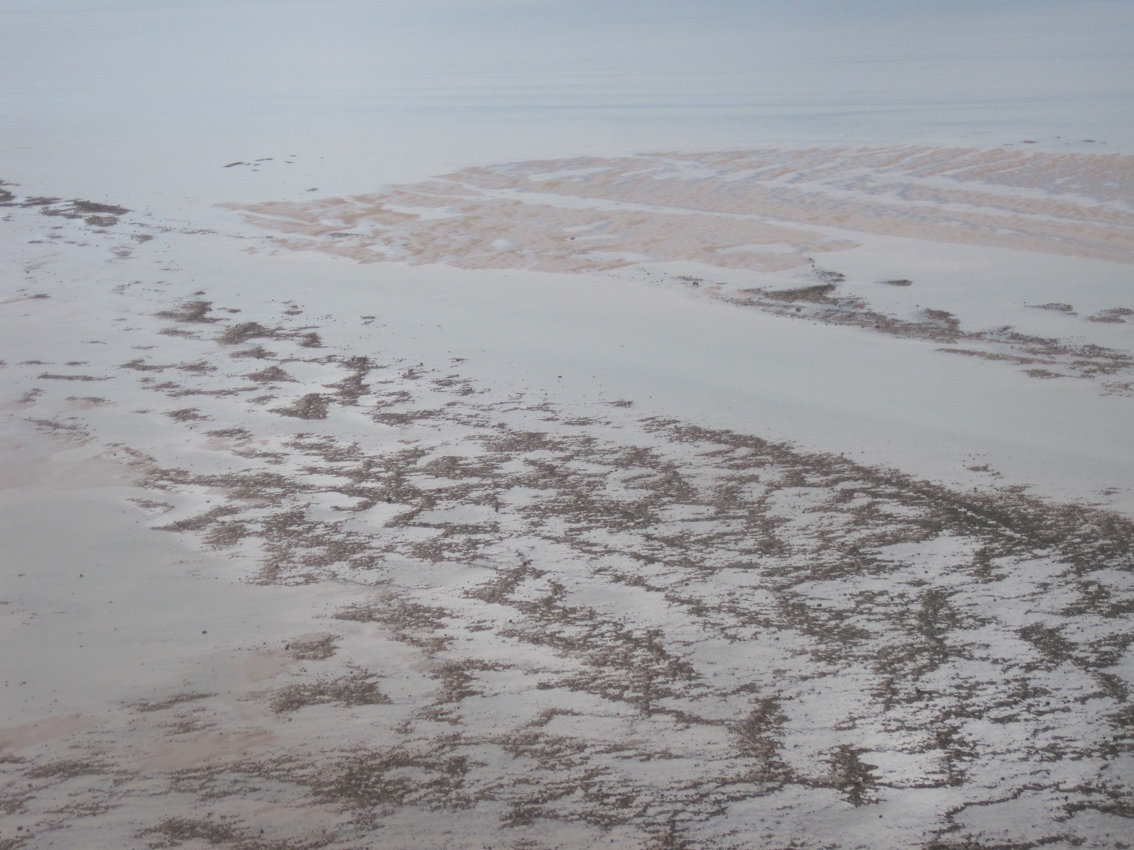
The paths of the rivers are never constant; they carve deeper channels, or change their routes, finding new ways between the sandy shoals. Where sea and river meet, sediment is deposited and is swirled and patterned and heaved into new shapes. Sand, rocks, mud, are eroded from one place and deposited elsewhere; longshore drift brings material up from the Irish Sea. Saltmarshes are divided and their margins resculpted.
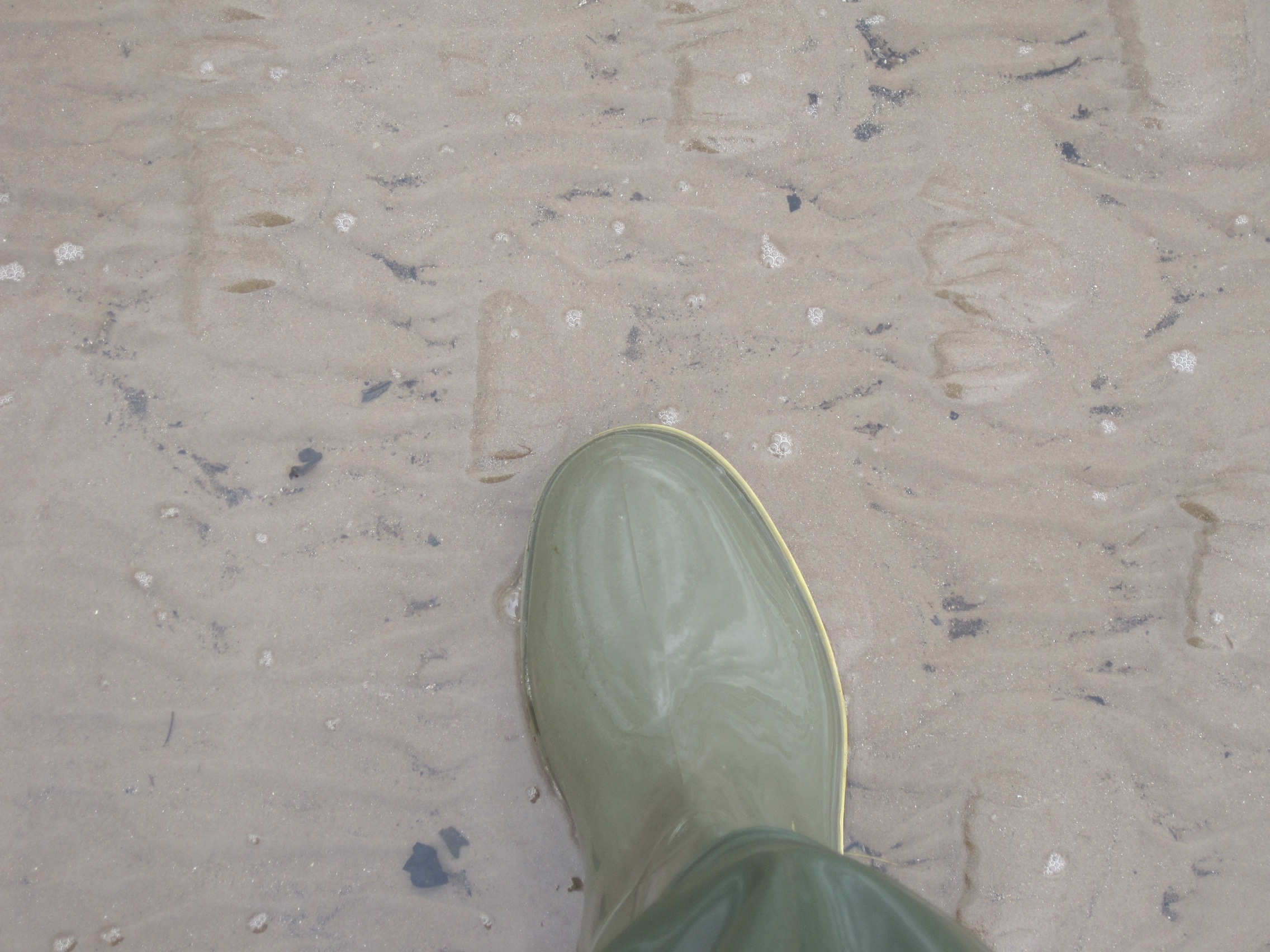
And so, if you and your animals – whether horses or stolen cattle – want to cross the Solway on foot, like Edward I’s army or the Border Reivers, you need to choose your time and tide and ‘wath’ (foot-crossing) carefully.
A year or so ago Mark Messenger, haaf-netter and owner of the Highland Laddie pub at Glasson, had told me that he had taken Rory Stewart MP across a wath near Rockcliffe Marsh – and said he’d be happy to guide me too. A few weeks ago, I happened to break a cycle ride to have lunch at his pub, and we got talking about the changes that had recently occurred in the upper reaches of the Firth. Two big rocks, the Anchor Stone and the Drawing Stone, had recently reappeared at low tide after being covered for years, and Mark told me that it was now possible to cross just West of the remains of the Bowness-Annan viaduct: ‘You can wade across, there’s that much sand. I’ve never seen it like that in 18 years.’
Who could resist such a challenge?
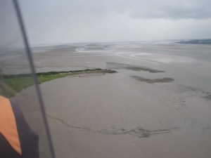
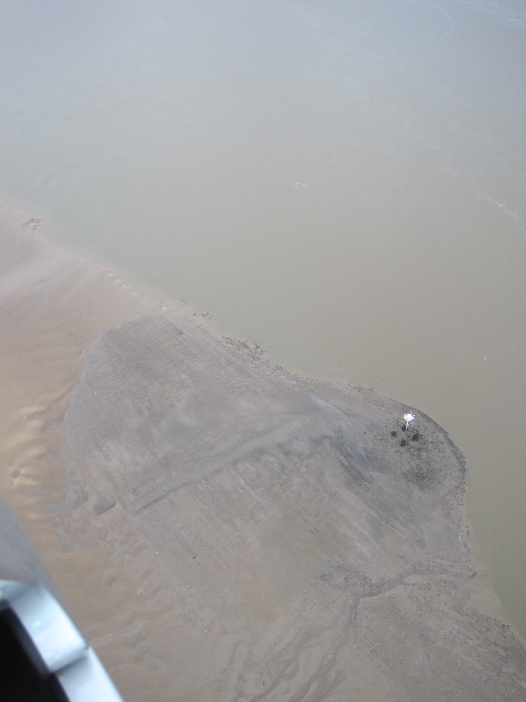
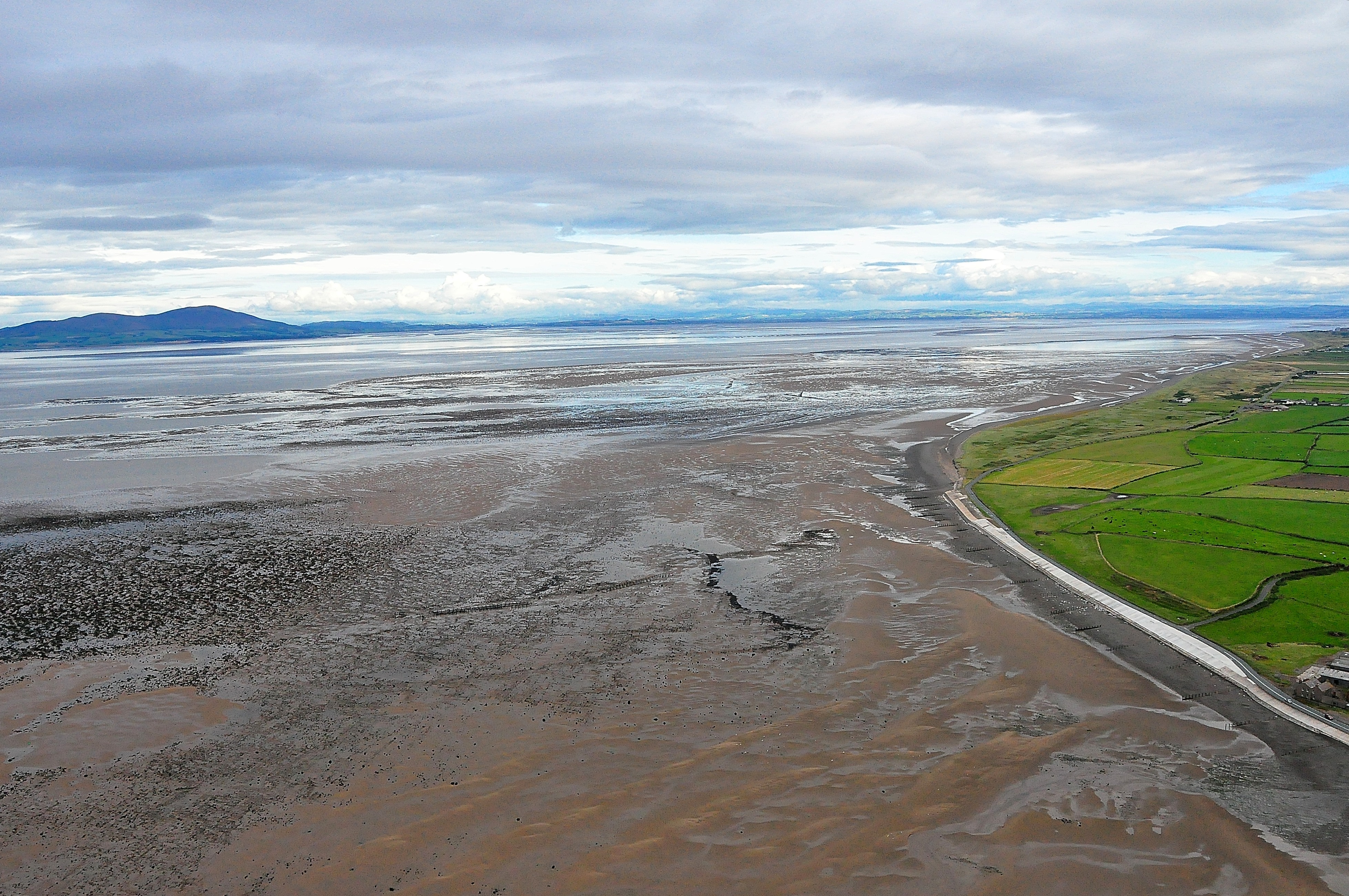
Remains of the Bowness-Annan viaduct, and the Firth at low water Spring tide
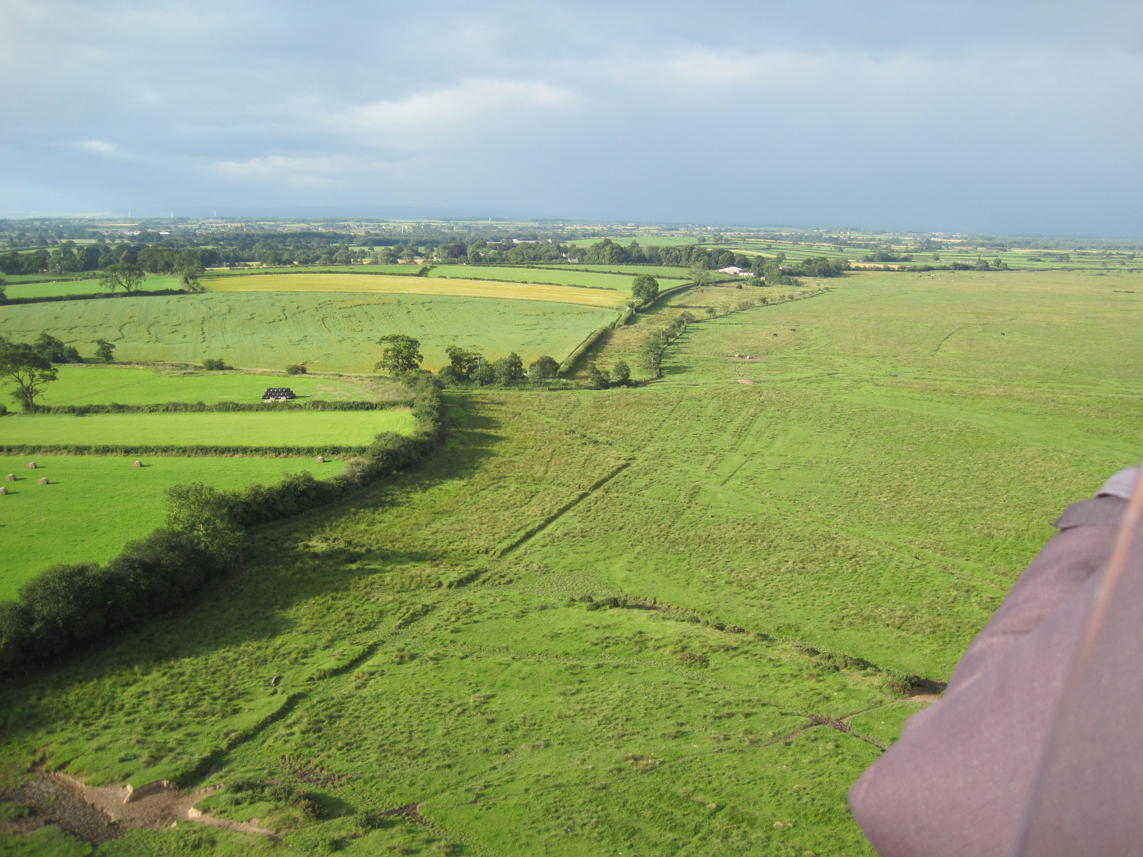
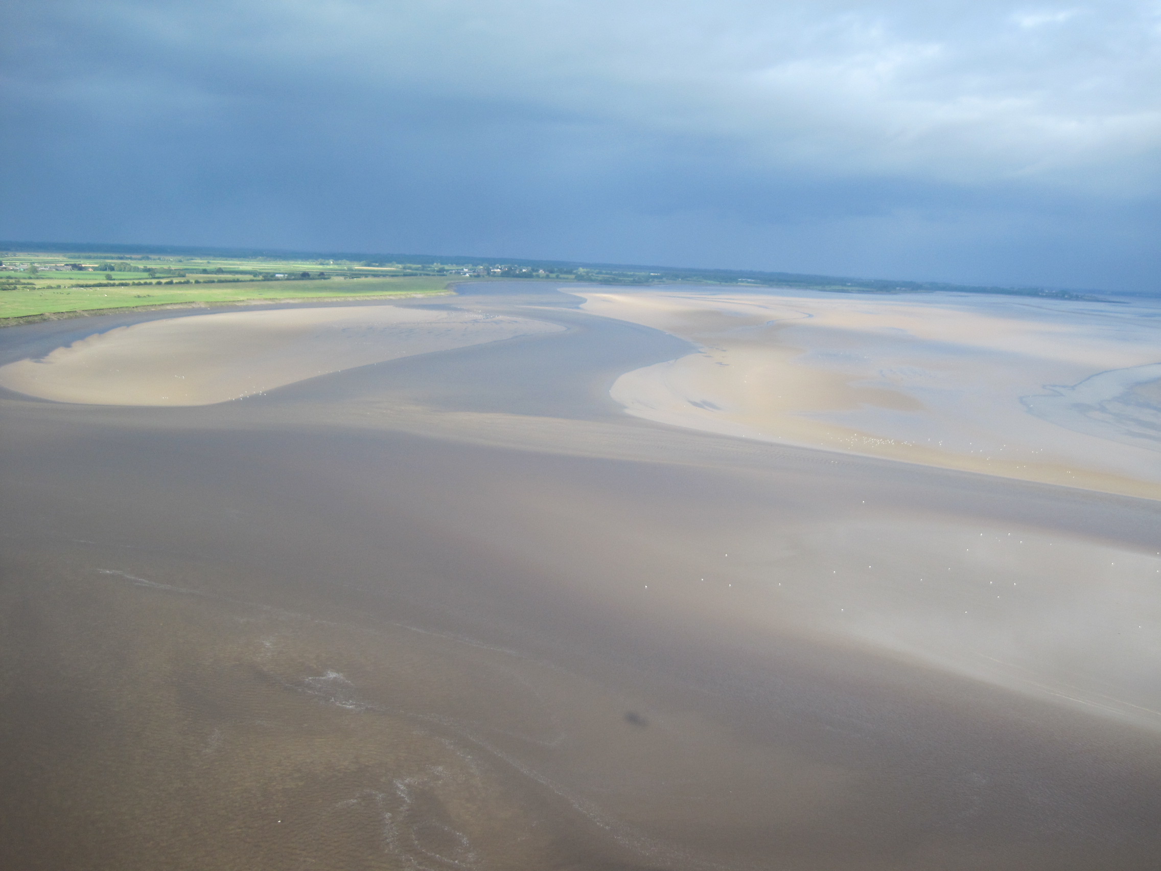
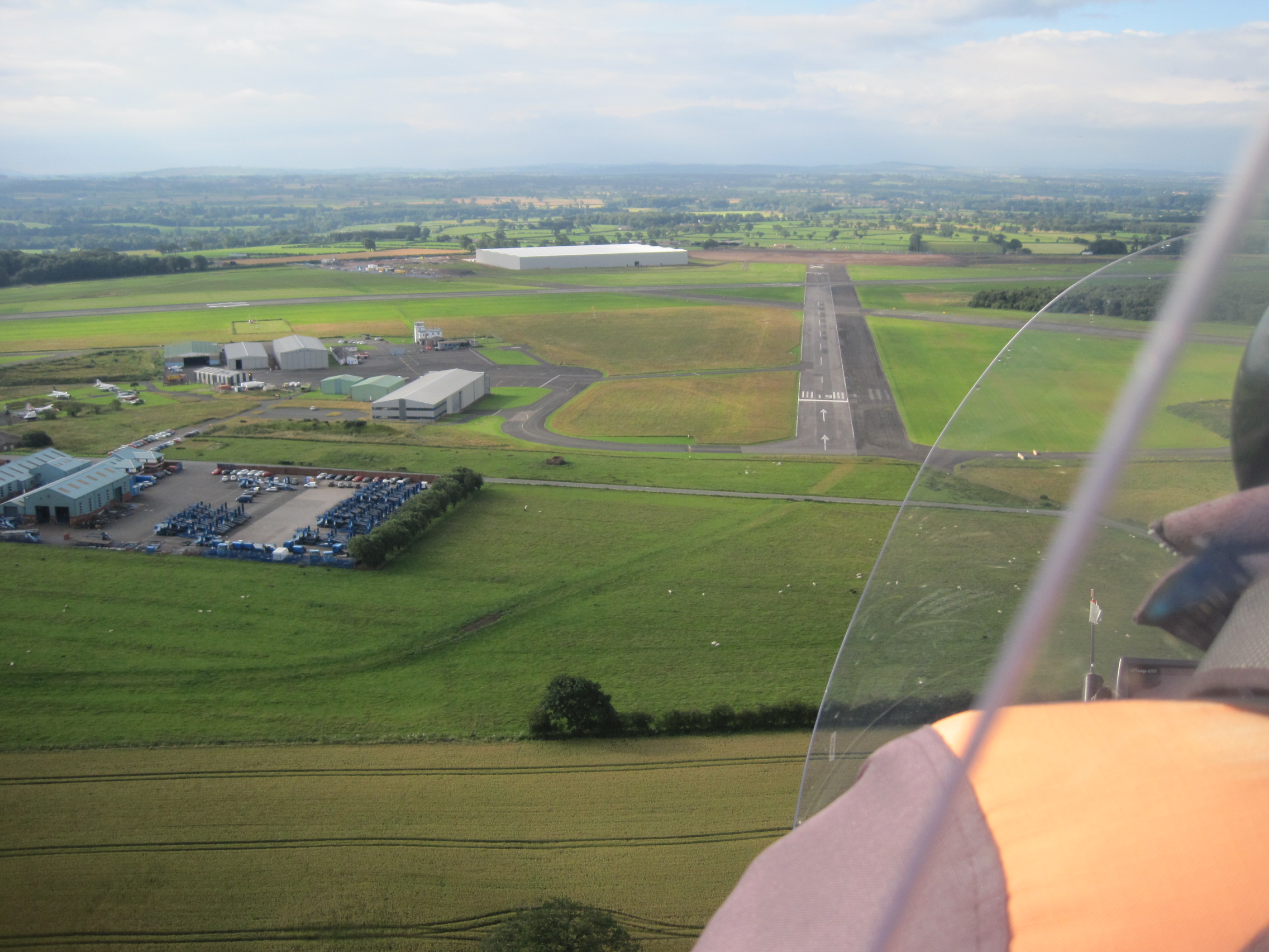
As it turned out, I’d already booked a gyroplane flight with Andrew Lysser, to catch a very low Spring tide, and a few days later we flew over that stretch of the Firth before we had to turn back due to bad weather. The water certainly looked shallow, there were large sandbanks, and I felt rather more confident about a crossing. Mark Messenger and I agreed to make the attempt on the first low tide two days later.
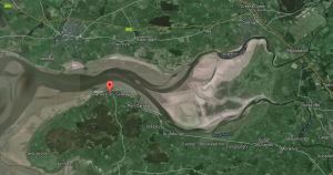
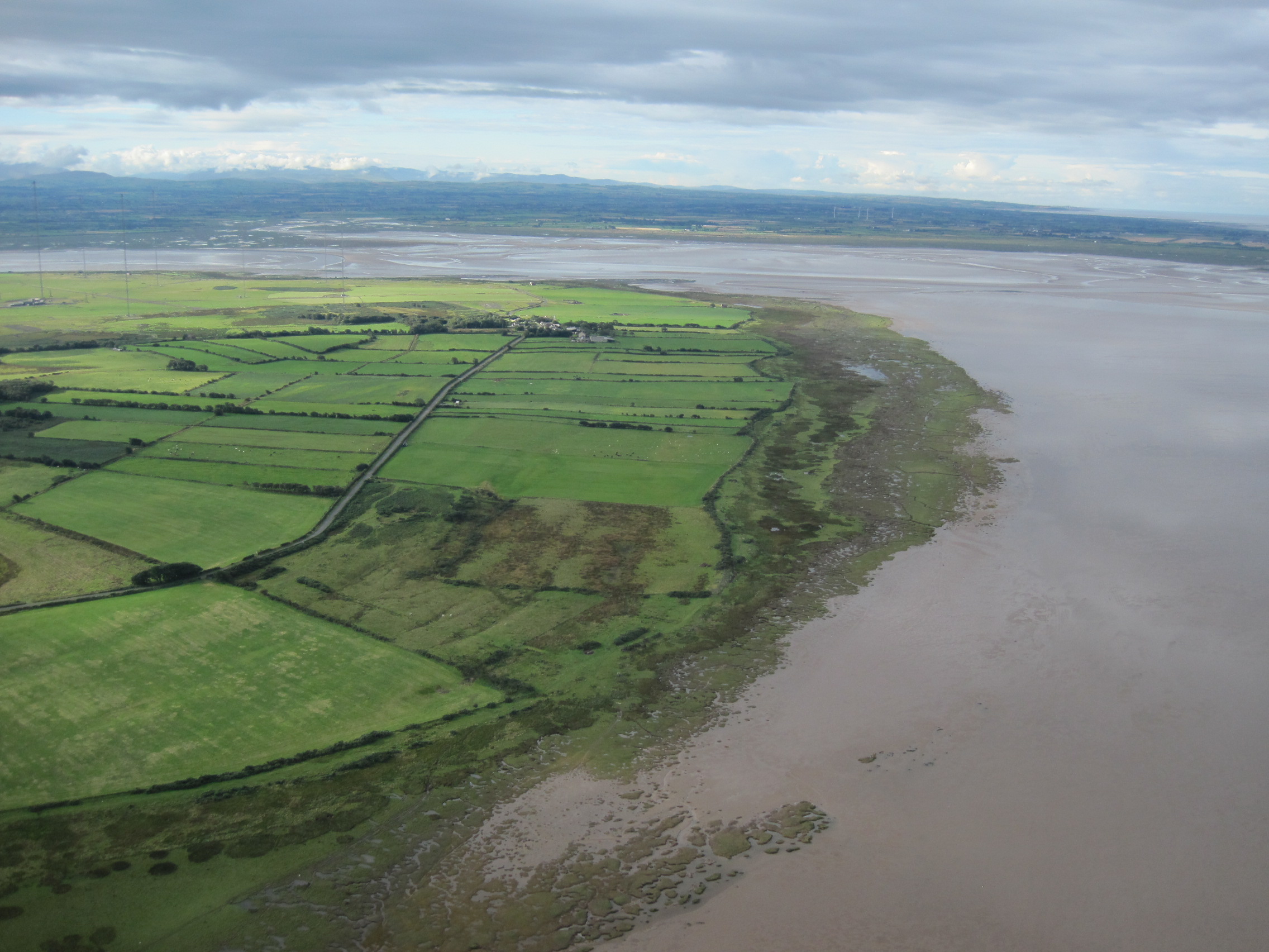
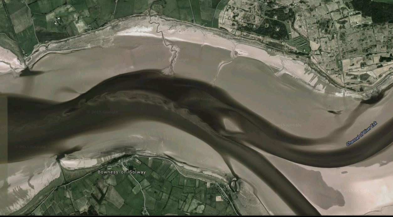
The English and Scottish shores near Bowness-on-Solway. From Google Earth
However, when I met Mark at the pub he told me that the situation West of the viaduct had already changed: a deep channel had opened on the far side and we would no longer be able to cross there but would try elsewhere.
We drove down the coast road in Mark’s van and at Bowness we pulled in behind cars parked on the roadside. Several men were wandering around, chatting, and pulling on waders and yellow waterproofs. As he parked, Mark nodded towards a man who was taking waders out of his car. ‘He’s the one who went for a swim last week,’ he grinned . The fisherman (we’ll call him Jim) got knocked off his feet and swept a short way downstream into a ‘hole’. ‘I couldn’t get out,’ Jim told me. ‘I was trapped in it. Then the tide turned and washed me out. I was only in for 15 minutes but it was cold.’ Meanwhile, two of the Scottish haafnetters had seen that where there had been two men fishing, there was now only one, and they had alerted the rescue; the lifeboat came from Silloth. ‘A bit embarrassing,’ Mark told me later. ‘He was upstream of us, we’d have got him out. But he was blue with cold.’ Nevertheless, here was Jim, back again, kitting up, pulling the strap of his bag over his head, readying himself for another few hours fishing in the Firth.
At Silloth, the tide would be on the turn and would soon be flooding back up the Firth. Here, just upstream of Bowness-on-Solway the tide was still – just – on the ebb. Here there is a long period of slack water between the ebb and flow. As Mark said, ‘We don’t get 24-hour tides here’.
Sandbanks and mudflats stretched out from both the English and Scottish shores and in places sandy shoals were beginning to show beneath the surface. It looked as though it should be an easy crossing.
To reach the water we would have to cross slippery mud and stones, and then a long stretch of sand. ‘It’s hard to believe it’s changed so much in just a few days,’ Mark said. ‘This was all rocks last week, like that over there.’ Now, mud and tangled grass had been pushed right up to the bank along the margin of the road. He pointed out curving lines on the shore. ‘You can see where the current comes in close, the tide keeps to the English side when it comes round the point.’

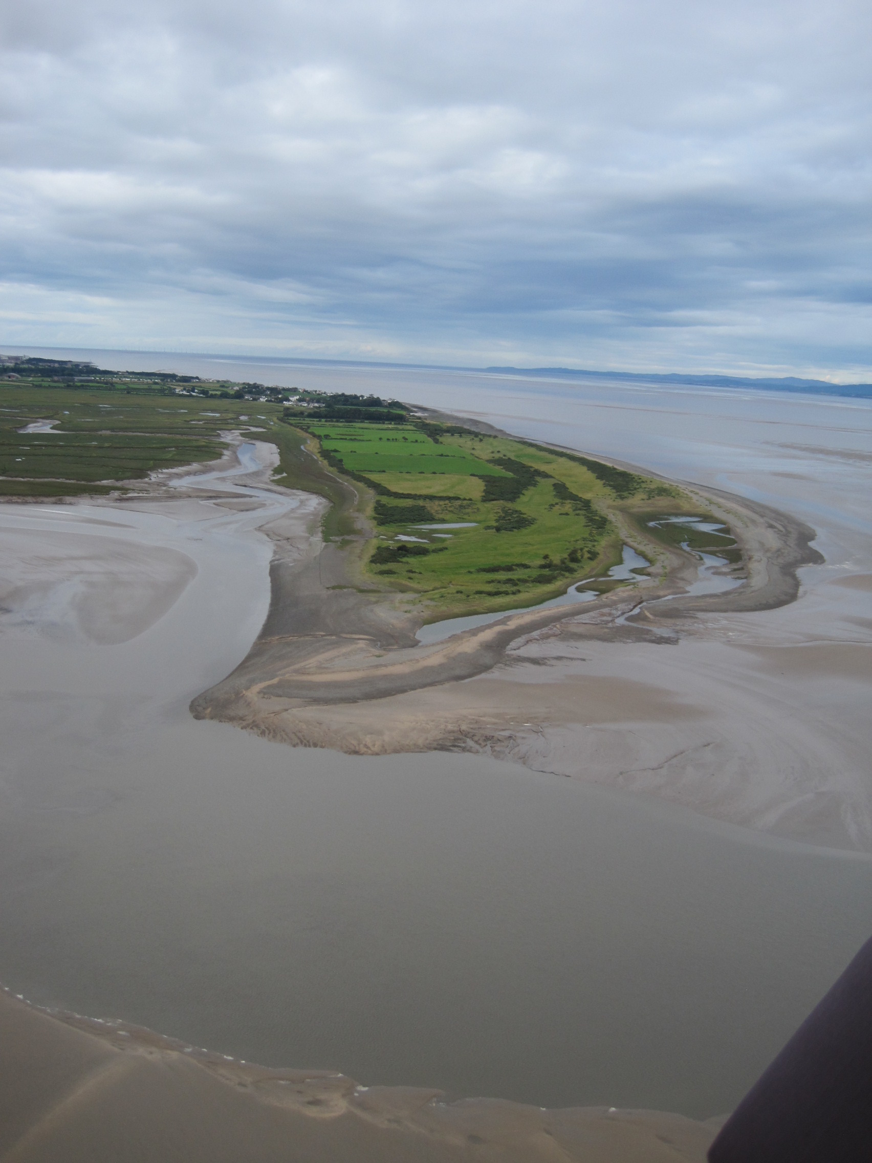
Crossing from Bowness (From Google Earth). At the time of writing, the R Esk also has a channel close to the northern shore
He’d already been chatting to Billy, another haafnetter who was getting kitted up, about the state of the channels and the shoals. Billy had been out fishing this stretch of the Firth the previous day, and he pointed out a white house we should aim for, and where standing waves indicated a shoal. ‘Why’d you want to do this?’ He was laughing at me as I was flapping the over-large top of the waders Mark had lent me. ‘Something you’ve always wanted to do, is it?’ I agreed but admitted I was slightly nervous, now that I’d seen how far we had to walk and wade (in both directions – there would be no waiting taxi on the Scottish side to bring us home via Gretna!) ‘You’ll be okay. It’ll be easier coming back. And Mark’ll look after you, won’t you, Mark?’
I knew he would: I’d previously been out haafnetting with Mark, standing chest-deep in the incoming tide. He’s a man of few words, but he constantly scans the surface of the water, and he will always explain what he’s looking for and what it means. If you want to cross the Solway, on one of the ancient ‘waths’ or anywhere else, you couldn’t do better than ask a haaf-netter.

My guide: Mark Messenger with haafnet
Mark’s own haafnet was on the marsh the other side of Bowness, so he borrowed one that was lying on the bank. He said we’d ‘have a look and see what we can find’ – but he also told me later that carrying the net was useful in case ‘anything goes wrong’, because the frame can be used as an anchor or support. The weather was good for a crossing, very little wind, the air was warm despite the grey sky; the waves were small.
We waded into the shallow water; soon it was knee-deep and then above the knee. Walking wasn’t difficult. But then we reached the current, where the Eden – busily carrying water that had recently fallen on the Fells – was making its presence felt. The water wasn’t deep but walking against the current became slower and harder. Whenever I stopped, the ground beneath my feet was sucked away. Occasionally, a sudden stronger swirl caused me to lurch. I began to feel hot and sweaty from the effort, and anxious about having to make the return journey. But I was determined not to fail, to keep going and not show how weak my legs felt (what had happened to those running muscles I’d been building up?). Mark waded slowly, keeping an eye on me while pretending not to do so, occasionally asking if I was alright, suggesting I could hold the bar of the net if I needed to (I was determined not to). He also stopped frequently to look at the water. ‘If there’re salmon, they’ll be coming down like bullets,’ he said. ‘Look out for flashes of white.’ And, ‘We’re heading for where the water’s smoother, over there. Another 50 yards and we’ll be over the worst bit.’ And so we were, eventually, though there was still a fair way to wade through the shallower, calmer water, towards a sandbank splattered white by resting gulls and oystercatchers.

Approaching Scotland: the green huts are armaments stores
Over to our right, the River Esk swirled round the point but instead of immediately joining the flow of the Eden it had, in the past few days, carved itself a new channel close to the Scottish shore. Mark wanted to see if salmon were trapped there, so we ambled about on the sand and in the shallows, looking at the view, admiring Bowness as seen from the Scottish shore, watching the other haaf-netters downstream on both the English and Scottish sides. Mark has a Scottish licence as well as an English one, but we had set foot on the Duke of Buccleuch’s territory where haafnetting wasn’t permitted.

Setting foot on Scotland
Down towards Annan Water, six Scottish fishermen were standing close to each other. ‘They’re fishing a hem. If you think of two currents meeting, one flows on top of the other and then it drops down—, ’ he showed me with his hands. ‘And where it drops the water’s flowing faster and harder. The fish can get trapped. But it’s hard to fish.’ The men clearly weren’t having any luck, they were moving round the hem, and eventually moved away to look for better water. Two English netters further down near the viaduct had given up, and were wandering up through the water towards us, chatting, nets balanced on their shoulders.
Our crossing had taken just over 20 minutes and now, having examined Scotland and rested, it was time to head back to England. In the 40 minutes or so since we walked onto the sand at Bowness, the water-level had dropped even more, and new sand was exposed. We were also walking with, rather than against, the rivers’ flow so the going was easier. I wondered if we were now wading through freshwater rather than brackish but it was so turbid and brown with silt that I didn’t feel inclined to taste it.

Reestings
Ahead of us were reestings – standing waves, occasionally, chaotically, tipped with white – an indication that the water ran fast and shallow over shoals. It made interesting wading, to feel the sudden change in speed and force, to stand and watch how the patterns and heights of the waves changed subtly.
The flood tide should be starting to reach Bowness, the haafnetters would soon be feeling the stem, that change in pressure when the opposing waters meet. We had returned to the English shore. I was elated and still finding it hard to believe that I had, finally, walked across the Firth and back.
But I was also strangely disappointed: the ground underfoot, the air around us, were so predictable in comparison.
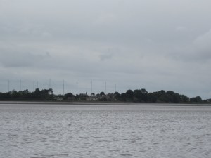
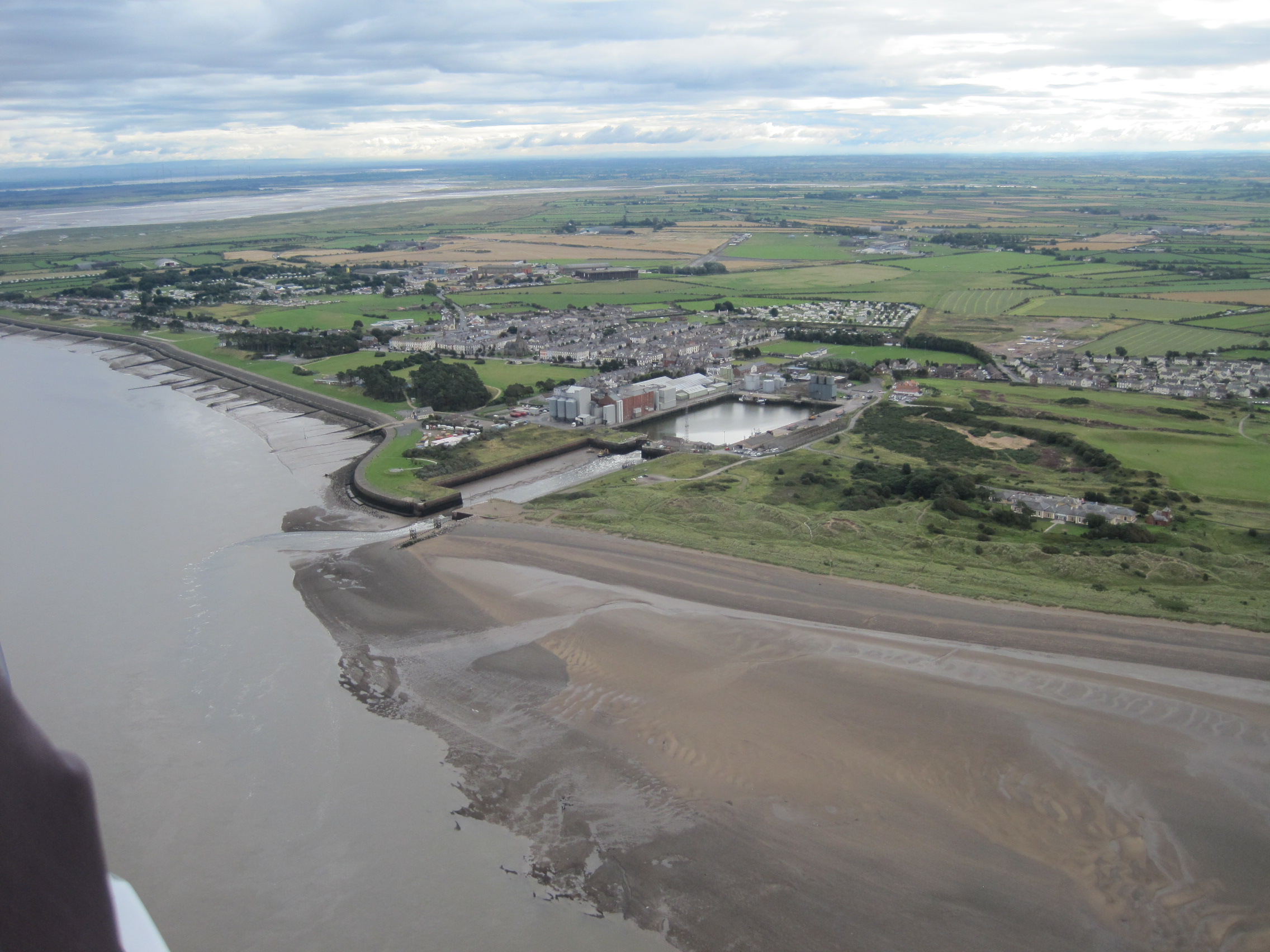
Bowness-on-Solway seen from the far side of the Firth. The masts of Anthorn are in the distance.
We drove through Bowness to look at the state of the Firth next to the viaduct. Despite the great expanse of sand and the apparently shallow water, there was a new channel on the English side where Mark said he hoped to find good fishing. ‘If that breaks through at the Cardurnock end, the fishing will be dynamite!’ And on the Annan side, a patch of stationary white water hinted at a deep hole which would have prevented our reaching Scotland.
This had been a very different experience from when I went haafnetting: then I had had to wade out into the flood-tide, standing with the net as the water rose to chest-level. I’d learnt about breists and reestings and holes, seen and heard the bore, seen the way the water crept so unnervingly quietly into the channels on the mudflats. It had been about the power and the vagaries of behaviour of the sea.
Today, I’d seen and felt the power of the rivers that modify the inner Firth, on their own and during their interactions with the sea. I’d learnt that every time you go out you have to see and understand the subtle clues that tell you where it is safe to walk and stand, where shoals have formed or holes appeared, and how the hems and holes and breists affect the fish and their behaviour.
You have to understand the water: and that is the clue to starting to understand the Solway Firth itself.
Read about my own experience of haafnetting in The Fresh and the Salt. The Story of the Solway (Birlinn Books 2020); for more information about the book (available from all bookshops), reviews and more photos, see the related website.
There are other posts about bathymetry, the sea-bed, and currents, on this blog.